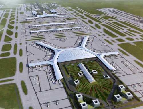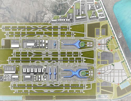
Project Description
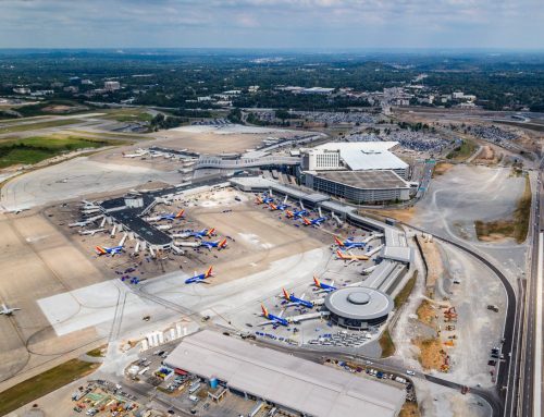
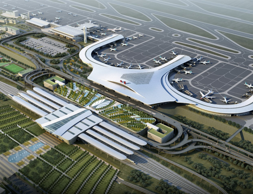
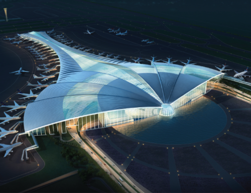
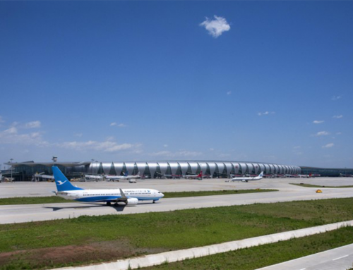
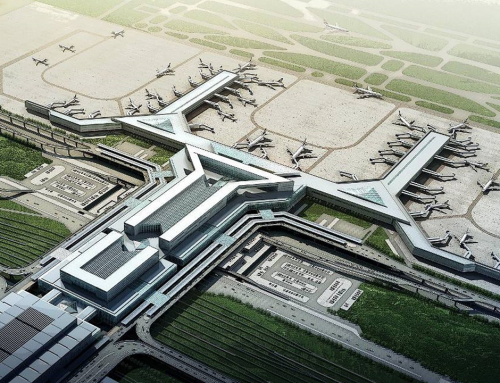
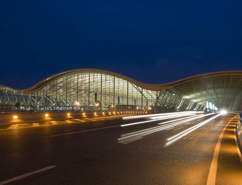
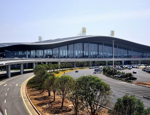
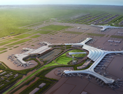
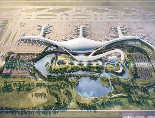
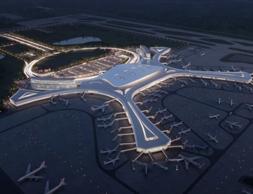
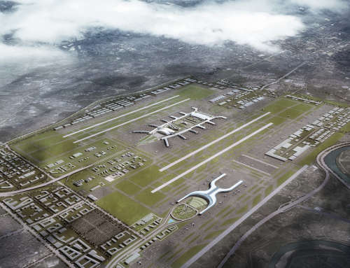
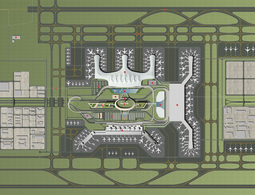
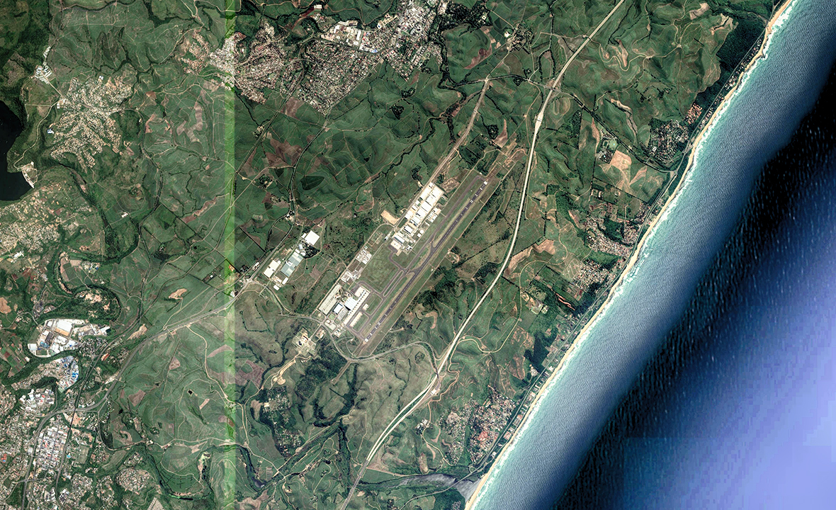
King Shaka International Airport
Client: Airports Company South Africa (ACSA)
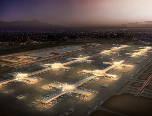
L&B was commissioned as lead consultant by ACSA to simultaneously update the master plans for the ultimate development of both O.R. Tambo (ORTIA) and King Shaka International Airports (KSIA) in Johannesburg and Durban respectively.
As well as being the newest, KSIA is the third largest airport in South Africa and is a regional gateway to the province of Kwazulu-Natal. The region is well known for its strong history and local tourism magnet, with fantastic all year round weather, great beaches and many natural and cultural attractions. The city and airport collaborate very closely and have been the hosts of many large scale international events including the FIFA Soccer World Cup tournament.
A key challenge that has emerged in the airport’s short history is that the demand for international services has exceeded prediction, requiring the very next step of expansion to focus on improving international terminal processing capacity.
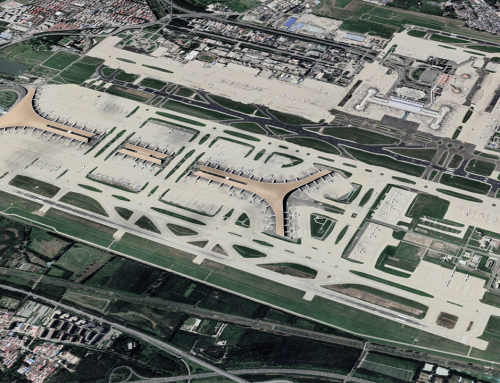
With a site capability to accommodate dual wide spaced runways in ultimate development, it is currently served by a single runway capable of Code F operations. With ample capacity and Code F capability, the airport is often used as a local training point for Code F international operators.
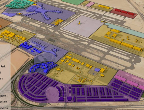
Significant logistics surrounding cargo and aerotropolis development is taking place and a key objective of the planning effort was to integrate the aviation master plan with all of these. The most important challenge associated with the plan was however rooted in its origin. Originally developed on the back of a design-construct procurement, ACSA had limited impact on the formulation of the airport’s ideal evolution beyond the first stages. The master plan therefore had to confirm the baseline capacity and formulate an evolutionary path from which the airport could step change in future.
The key objectives from the client also included a process that is strong on stakeholder consultation and inclusivity, hence a series of ‘indabas’ were conducted.
Photography: Data SIO, NOAA, U.S. Navy, NGA, GEBCO, DigitalGlobe, Terrametrics vis Google Earth